
More content coming in the near future as this page will be under further development… Until then continue reading the existing content!

We specialize in delivering accessible, high-fidelity aerial data to equip you with actionable outputs for critical decision making. Take advantage of the opportunity to advance with the latest technology!
If you are seeking to obtain visual assets, we will equip you with compelling outputs that showcase your project and will leave a lasting impact.
Contact us
Our Services:
Mapping & Surveying
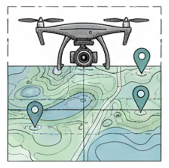
Get the highest level of detail with survey-grade accuracy. Our systems use RTK corrections along with GNSS Receivers to ensure all outputs are absolutely precise and geolocated.
Site Progress
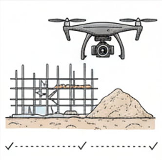
Get an overall view of the progress of your site so that you can make the needed decisions along the way. Prevent unneeded costs and meet time constraints by tracking site progress.
Volumetric & Other Measurements
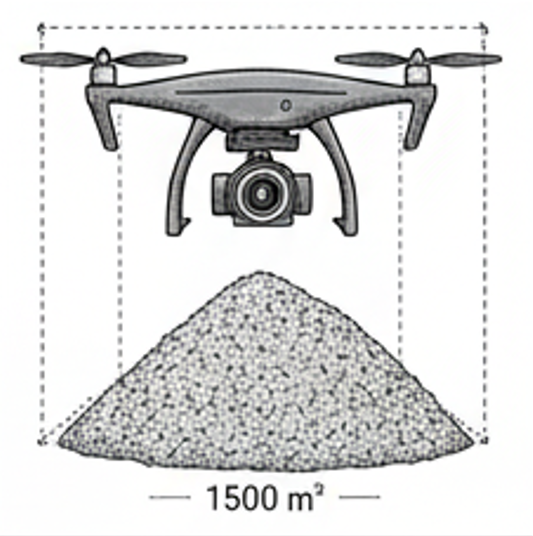
Get a better knowledge of your site project with accurate measurements to include “cut & fill” metrics, stockpile measurements, area, distance, elevation (…and more), at high-level accuracy.
3D Modeling / Digital Twins
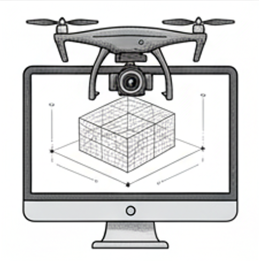
Transform your site into an interactive 3D model with precision drone technology. Get accurate, detailed visuals for marketing, sales, planning, analysis, and decision-making—all from a bird’s-eye view.
Photography & Videography
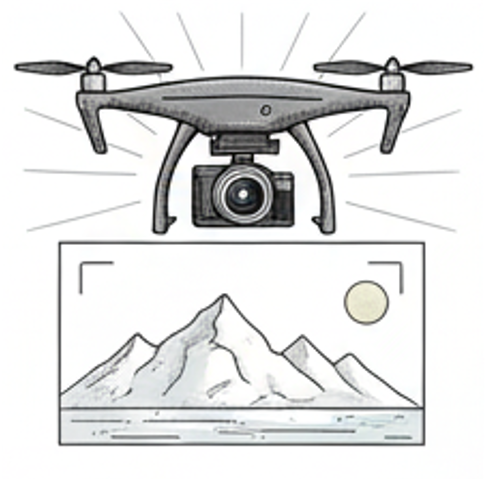
Showcase your work by using high resolution visuals that will give a strong and lasting impression to your clients/customers. Use quality imagery and videos to track and evaluate progress.
Inspections
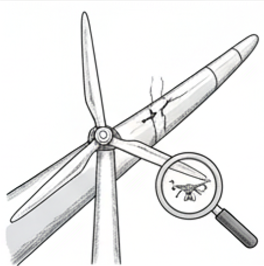
Utilize aerial data capture services for inspecting areas that might pose safety risks for your staff to inspect. We can create automated or manual flight routes for inspecting hard to reach areas ensuring compliance and proper asset management.
LiDAR
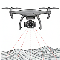
Harness the precision of LiDAR technology to capture accurate 3D terrain and structural data—ideal for mapping, planning, and uncovering details invisible to traditional imaging. Elevate your projects with unmatched accuracy from the latest technology.
Thermal Imaging
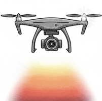
Unlock hidden insights with thermal imaging in aerial data solutions—detect heat anomalies, improve efficiency, and prevent costly issues before they arise. Take advantage of advanced thermal technology to make smarter, faster decisions.
Deliverable Types
-
We use aerial data to create precise 3D models and digital twins of your assets, sites, or structures so that you can visualize or preserve them in high detail.
-
During Aerial Data Capture, we obtain millions of data points to create highly detailed point clouds of your project. This delivers precise measurements and 3D visualization for surveying, design, and analysis.
-
We generate high-resolution Digital Surface Models, capturing terrain and all above-ground features for accurate elevation data. Ideal for planning, analysis, and site management.
-
We produce high-resolution, georeferenced orthomosaic maps—delivering accurate, detailed imagery for surveying, planning, and site analysis.
-
We deliver a variety of precise site measurements to include distance, area, elevation, and volumetric calculations (for stockpiles, earthworks, and material quantities)—helping you track inventory, reduce costs, and improve project accuracy.
-
We deliver aerial drone video footage and photography services to capture events and progress for documentation. All deliverables can be used by owner for marketing purposes (e.g. website, social media, etc.).
-
Our drones capture accurate, high-resolution data to create detailed “as-built” surveys—documenting the exact conditions of your project for verification, compliance, and progress tracking.
-
Track project progress with high-resolution drone imagery and 3D models—providing clear visual updates and accurate data for reporting and decision-making.
-
Our drones capture high-resolution images for detailed inspections of hard-to-reach areas—improving safety, reducing downtime, and delivering actionable insights.
-
Most deliverables can come with a quality control report to ensure accuracy.
If there is a related need you have that exists outside of the scope of these deliverables, let us know how we might be able to serve you.